Services
We are dedicated to providing you with the highest quality service. It is our duty to make certain that you are confident in selecting our services in the future.
What We Do
A professional and capable team to meet all your mapping related requirements.
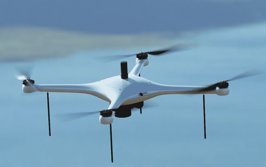
Drone Mapping
Our company offers a diverse range of drone mapping services, committed to providing high-resolution aerial images and data analytics across different sectors. We utilize advanced drone technology to deliver precise, efficient, and economical mapping services.
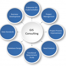
GIS Consulting
We offer expert advice and strategic planning to help organizations effectively utilize GIS technology. Our consultants work closely with clients to assess their needs, develop customized strategies, and implement best practices.

Data Collection & management
Our team specializes in collecting and managing high-quality geospatial data using advanced technologies. We conduct field surveys, remote sensing, and data integration to ensure that clients have accurate and reliable datasets.
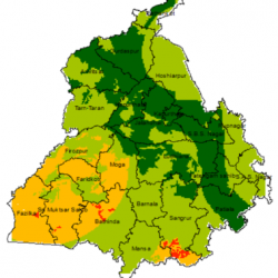
Spatial Analysis
We provide in-depth spatial analysis services to uncover insights and trends within geographic data. Our analyses support decision-making in areas such as site selection, resource management, and urban planning.
Cartography & Mapping
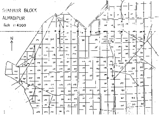
Our skilled cartographers create visually compelling maps that effectively communicate complex data. We offer customized mapping solutions for various applications, from print maps to interactive web maps.
GIS Application Development
We develop custom GIS applications tailored to the specific needs of our clients. Whether it’s a mobile app for field data collection or a web-based dashboard for data visualization, we create user-friendly solutions that enhance data accessibility.

Training and Workshops
offer training sessions and workshops for organizations looking to enhance their GIS capabilities. Our courses cover a range of topics, from basic GIS concepts to advanced spatial analysis techniques
Geo Spatial Datal Visualization
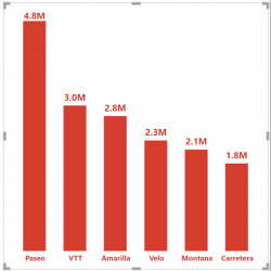
We create interactive visualizations that make complex data more understandable. Our visualizations can be embedded in reports, presentations, or websites, helping clients communicate their findings effectively.

Environmental & Urban Planning
GIS solutions support sustainable development and urban planning initiatives. We assist clients in assessing environmental impacts, planning infrastructure projects, and managing natural resources.
